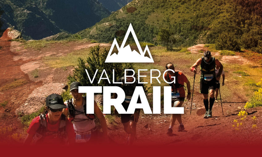
Trail Running
Three marked and mapped trails
Pour les coureurs de pleine nature, découvrez les multiples ambiances que proposent les paysages de ces itinéraires de niveaux différents.
Sur chaque tracé, vous trouverez des points d'eau.
Le dépliant des parcours est disponible à l'Office de Tourisme.
Trail runners will marvel at the beauty of the varied landscape they run through as they discover these three routes of varying difficulty.
On each route, you will find water points.
A leaflet of the routes is available at the Tourist Office.
Warning: in winter, the ski area is closed to pedestrians.
Green Circuit

Kill two birds with one stone by exploring both the ski area and the planetary trail.
Distance : 10km
Elevation Gain : 539m
Level :
Blue Circuit

Discover perched trails, larch forests, pasture plateaus and deep valleys.
Distance : 22km
Elevation Gain : 1116m
Level :
Red Circuit

Escape to the vast expanse of the Mercantour National Park and then stroll through the narrow streets of Beuil on the way back.
Distance : 33km
Elevation Gain : 1 653m
Level :